Our Technologies

Innovative Solutions Powering Fiber to the Home

Design and Analysis (GIS)

Design and Analysis (GIS)

At Navigant Networks, GIS is the foundation of every fiber network we design. Our team brings continuous innovation to geospatial technologies with custom-built autodesign tools that rapidly evaluate feasibility and optimize routing—accelerating economic assessments and project planning. High Level Design decisions made by our experts are immediately tested against automated quality control tailored to the customer’s specifications. We don’t just use GIS—we shape it to each project. Whether you’re building from scratch, acquiring a new network, or transitioning to a new system of record, we can ingest, analyze, transform, and normalize any data set to support clean integration and ensure continuity. This agility empowers service providers with clear insights, robust spatial intelligence, and a faster path to ready-to-construct (RTC) deliverables.
Pole Survey and Fielding

Pole Survey and Fielding

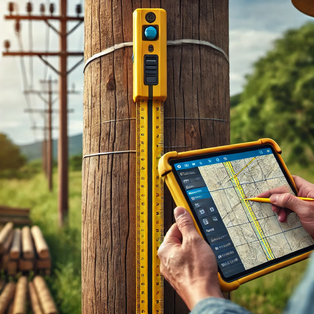
Our pole survey and base mapping process bridges the gap between high-level strategy and low-level precision. We begin by identifying the permitting authorities in the project area and engaging them early—ensuring that we fully understand the engineering specifications and constraints that will shape the build. Using the Katapult system, our field teams perform comprehensive digital pole surveys that feed directly into our integrated design pipeline. From there, we conduct make ready engineering and pole loading analysis, providing clear recommendations—including aerial fallout options—based on each customer’s cost and lead time tolerances. Because all phases of design and verification are connected, redesigns due to permitting or field conditions flow cleanly through GIS, CAD, and splice planning. This eliminates the disconnects common in traditional workflows and ensures accuracy from field to final plan.

Drafting and Permitting

Drafting and Permitting

Precision drafting is where design becomes buildable—and where many projects fall apart. At Navigant Networks, we use AutoCAD Civil 3D not only for its drafting capabilities but for its seamless integration with GIS. This allows design changes from the GIS phase to reflect automatically in CAD drawings, reducing errors and saving valuable time. Our CAD team develops detailed construction drawings and plan sets ready for permitting and construction. We handle the permitting workflow as an integrated part of our design process—not an afterthought. We coordinate with authorities, navigate their evolving requirements and online portals, and track every submission and response. Many of our competitors lose track of what is actually RTC; we maintain clarity throughout. Time to market is everything, and we build and maintain that ready-to-construct runway early—adjusting priorities as needed with our clients while gently pushing permit authorities to keep the momentum. Every revision, every permit change is integrated back into design, QC, and ultimately, the customer’s system of record.

Automation and Integration

Automation and Integration

At Navigant Networks, we integrate splice plan development into the broader fiber network design process from the very beginning—eliminating the traditional pitfalls of treating it as a final, disconnected step. Our approach ties fiber assignments and utilization directly into the design workflow, ensuring that every change—whether driven by value engineering, permitting revisions, or field conditions—flows seamlessly through CAD, GIS, and splice documentation. This allows us to generate ready-to-construct (RTC) deliverables earlier in the process, keeping the runway ahead of construction crews full and avoiding costly slowdowns in the field. We automate both design and quality control workflows, tailoring them to each customer’s standards so that nothing gets missed. Every step is validated by automated checks and balanced with expert oversight. Our custom GIS automation and system integrations enable agile, accurate transformations of data—connecting design, QC, and construction in real-time—and delivering final outputs directly into the customer’s system of record. This level of precision and adaptability is something human hands alone can’t match—and it’s where we stand apart. With real-world construction and engineering experience at our core, we build solutions that work on paper, in code, and in the field.